Activities / Hiking
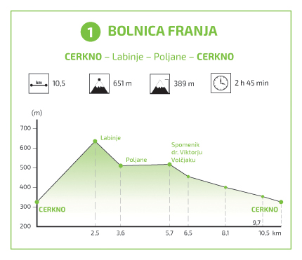
Cerkno – Labinje – Poljane – Bolnica Franja – Log – Cerkno (10,5 km; 2,45 h)
The trail leads from Cerkno up Brdce hill and past the monument commemorating the 47 participants in the 6th Communist Party training who lost their lives in the German attack on Cerkno in 1944. Reaching the crossroads after a short ascent, continue straight ahead and uphill to the village of Labinje, where you can see the remains of a Medieval mining church known as the Bell Tower of St. Nicholas (Miklavžev turn). Follow the asphalt road downhill and take the turning between the houses to reach the village of Poljane (keep an eye on the signs on your left and right).
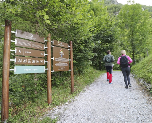
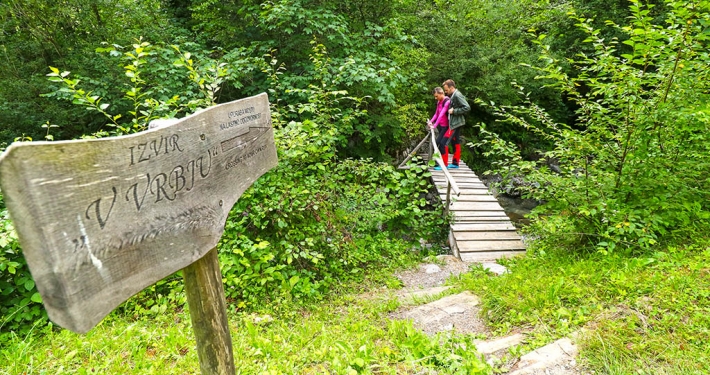
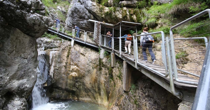
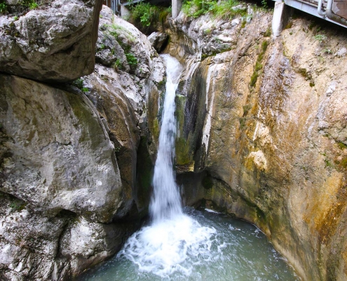
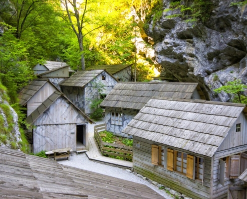
Continue through the village until you reach the stream, and then turn left onto the relatively flat gravel road at the foot of Drnova. To the north, you can see the slopes of Črni vrh (1291 m), with the Cerkno Ski Resort and the scattered houses of the Gorenji Novaki village. Reaching the Podnjivč village after a pleasant 30-minute walk from Poljane, cross the Maška stream that flows down the ravine between the hills of Drnova and Veliki Njivč (915 m). In Podnjivč, which is part of the Dolenji Novaki village (530 m, population: 206), you will soon reach a large farm. Once past it, you will see the Pasice gorge. Below and to the right, you can hear the booming Cerenščica stream flowing out of the gorge. Cross the bridge to the other side of the stream. You will reach a restaurant and a large car park, which can be reached by an asphalt road from Cerkno. The routes lead along the tourist trail to the hospital, some 10 minutes away. The gorge trail is well secured; parts of it are carved in rock, while other sections feature bridges, steps, and passageways.
Nearby attractions
- Monument commemorating the 47 participants in the 6th Communist Party training
- The Bell Tower of St. Nicholas
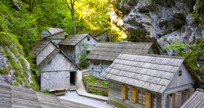
- Franja Partisan Hospital
- The Kamlonarše Homestead
Hiking trail 1
Trail (on interactive map – orange): Cerkno – Labinje – Poljane – Bolnica Franja – Log – Cerkno
Time: 2,45 hours
Lenght: 10,5 km
The lowest point of altitude: 324 m
The highest point of altitude: 651 m
GPX coordinates can be downloaded HERE.
*Download instructions: “right click” on the link, then select “save link as”. The appropriate application is required to open the file (for example: www.gpxsee.org).
Hiking trails in the Cerkno region
- Hiking trail 1: The Franja Partisan Hospital
- Hiking trail 3: The Forest Garden
- Hiking trail 4: Reka
- Hiking trail 4a: Mule track
- Hiking trail 5a: Želin – Ravne
- Hiking trail 6: Padstanajca Waterfall


