Activities / Hiking
Circular path through the Archaeological Park Divje babe
Route (on the interactive map – green color): Reka – Šebrelje – Reka (4.2 km; 2 h)
Time: 2 h
Lenght: 4,2 km
Lowest point: 284 m.a.s.l.
Highest point: 628 m.a.s.l.
You can download the GPX coordinates HERE.
Note: to download to your computer, a “right click” is required, then select “save link as”. To open the file, you need the appropriate application (e.g., www.gpxsee.org).
Reka – Šebrelje (1,6 km; 1 h)
The regional road Cerkno – Tolmin, at the settlement Straža in the hamlet Želin, we turn right at the traffic light intersection towards Tolmin.
After 2 km in the settlement Reka, we turn left over the bridge opposite the junction of the road to Bukovo and Zakojca on the other bank of the Idrijca River, where we park to the right behind the bridge at the information board Archaeological Park Divje babe. From here, we continue on foot straight along the asphalt road and follow the signs.
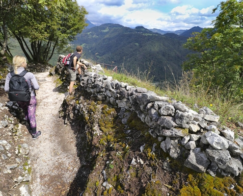
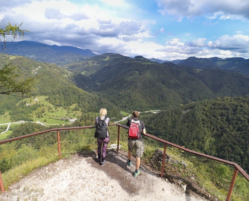
After about 100 m of walking on asphalt, we turn right at the bench (towards Divje babe) and continue along the asphalt road. After a few meters, we follow the sign that directs us onto a side path. On this path, we ascend to the intersection and follow the sign to the right along the forest clearing into the woods. We then follow the path, which leads us steeply uphill through the woods and pastures. By the stream, the path levels out a bit, then we follow the winding bends over a distance of 200 m. After that, we continue on the path to a rocky pass, which is fenced and offers a breathtaking view of the Idrijca River. Along the fenced section, the path leads us after 50 m to the archaeological site.
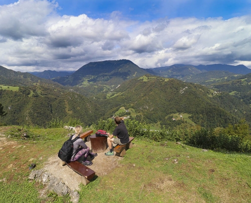
From the archaeological site, we then ascend 100 m along the stepped stone path to the next cave, which is also one of the important parts of the Archaeological Park Divje babe. There is also a bench by the cave where hikers can rest and enjoy the interesting view of the Idrijca River valley. From the cave onward, the path leads us up the winding stairs over a distance of 150 m. After that, the path levels out slightly and continues over natural terrain, where after 100 m we reach the church of St. John, viewpoints around the church, World War I monuments, and the starting point for the guided tour of the Archaeological Park Divje babe.
Starting point for a guided tour of the Archaeological Park Divje babe
The church is the starting point for a guided tour of the Divje babe Archaeological Park.
By prior arrangement, the guide waits and you can set off on a guided tour of the Archaeological Park with them.
The cave tour is only possible in the company of a guide and lasts about 90 minutes.
More information about guided tours is available HERE.
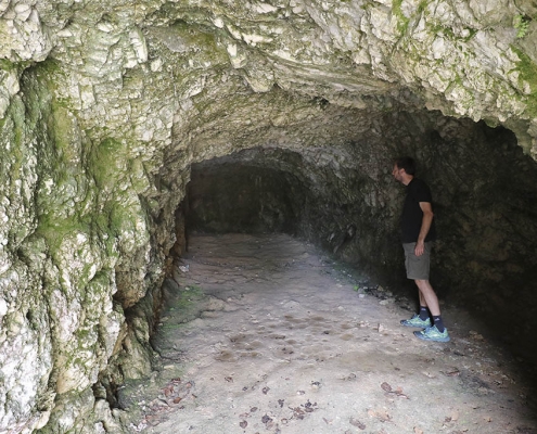
Under the church, there is a cavern and a memorial plaque with touching lines by Kavčič:
“Welcome, visitors! In this cold and gloomy shelter that we dug and hollowed out of the rock, we dreamed a century ago of the warmth of home and the embrace of loved ones.
Remember us sometimes and give your dreams to those close to you. Unknown soldiers.”
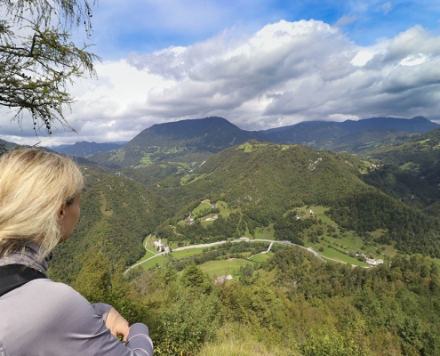
From the walls of St. John and to the right at the viewpoint, beautiful views open up to us. Deep below us is the valley of Idrijca, behind it the Peči (rocky Bohinj mountains) with the mighty Rodica, in front of us Cerkljanska with its villages, the wide Kojca, and the proud Porezen, and to the right, Blegoš.
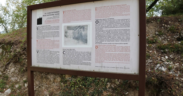
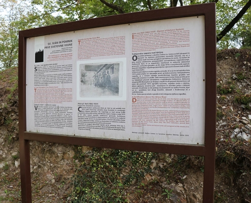
We are at the northernmost part of the Šebreljska plateau, at a strategically very important point. An ancient fortification was supposed to be here even during the time of the Romans, and our ancestors, the Slavs, built a sanctuary here dedicated to the Sun god. The original church was built in 1152 as a branch of St. Vitus in Šentviška Gora. It was destroyed in 1763 and restored in 1870. Today, on this site is the parish church of St. John the Baptist (Janes Kresnik – altar painting), restored with an image of Moses on the outer wall. Beneath the church and in the immediate vicinity, there are well-preserved trenches built by the Bosniaks during the First World War. They were part of the defensive line that ran from Bukovo to Reka, reaching St. Ivan and along the western edge of the plateau to Oblakov Vrh and Vojsko (the rear of the Isonzo front).
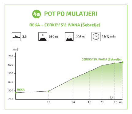
Šebrelje – Reka (2,6 km; 1 h)
or Hiking trail 4a: Mule Track
Path (on the interactive map – green color): Šebrelje – Reka (2.6 km; 1 h)
Time: 1 h
Length: 2.6 km
Highest point: 630 m.a.s.l.
Lowest point: 273 m.a.s.l.
You can download the GPX coordinates HERE.
Note: to download to your computer, a “right click” is required, then select “save link as”. You need the appropriate application to open the file (e.g. www.gpxsee.org).
Hiking trails in the Cerkno region
- Hiking trail 1: The Franja Partisan Hospital
- Hiking trail 3: The Forest Garden
- Hiking trail 4: Reka
- Hiking trail 4a: Mule track
- Hiking trail 5a: Želin – Ravne
- Hiking trail 6: Padstanajca Waterfall


