Activities / Hiking
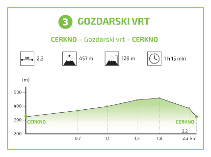
Cerkno – »gozdarski vrt« – Cerkno (2,3 km; 1,15 h)
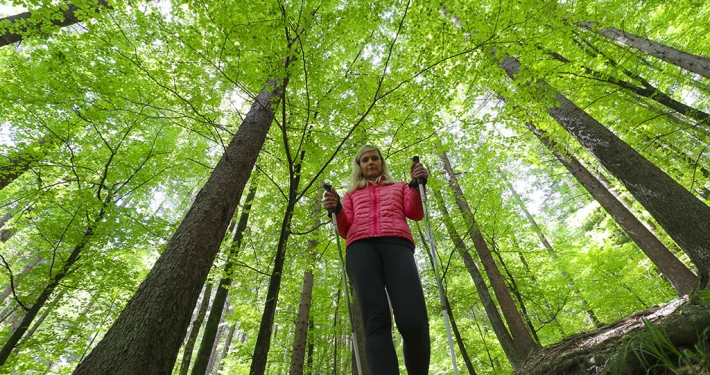
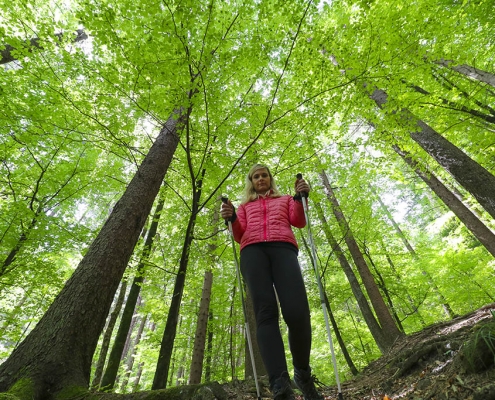
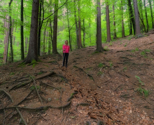
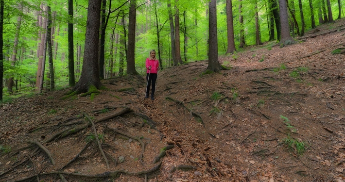
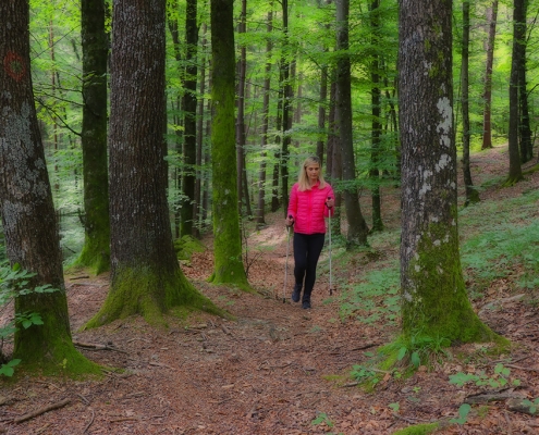
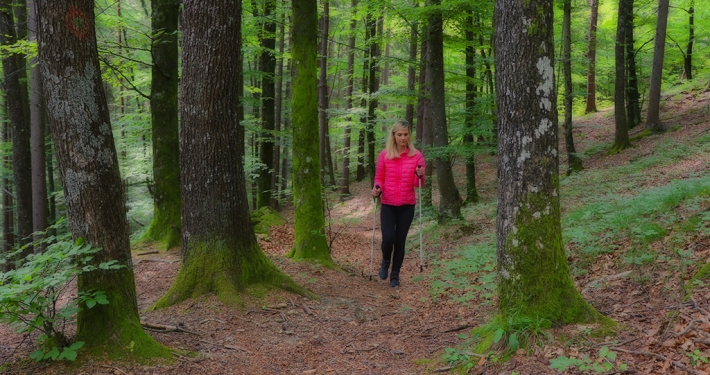
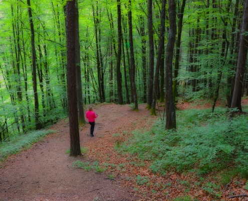
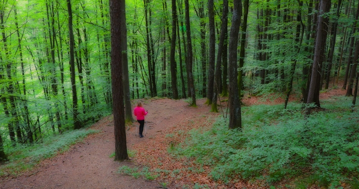
The trail leads to the left bank of the Cerknica river and up the steep slope of Lajše hill. Starting on the asphalt road, turn left into the forest after some 30 minutes of moderate walking. You can quench your thirst with clean spring water along the way. Continue along the forest trail and take a left when you reach the fenced area of the Forest Garden (Gozdarski vrt).
In the clearing, there are benches where you can rest, get your fill of fresh air, and enjoy the beautiful views of Cerkno, the neighbouring villages, and Porezen, the highest peak in the region.
Attractions
The trail is suitable for everyone looking for a quick escape from city life.
Hiking trail 3
Trail (on interactive map – purple): Cerkno – »gozdarski vrt« – Cerkno
Time: 1,15 hour
Lenght: 2,3 km
The lowest point of altitude: 324 m
The highest point of altitude: 450 m
GPX coordinates can be downloaded HERE.
*Download instructions: “right click” on the link, then select “save link as”. The appropriate application is required to open the file (for example: www.gpxsee.org).
Hiking trails in the Cerkno region
- Hiking trail 1: The Franja Partisan Hospital
- Hiking trail 3: The Forest Garden
- Hiking trail 4: Reka
- Hiking trail 4a: Mule track
- Hiking trail 5a: Želin – Ravne
- Hiking trail 6: Padstanajca Waterfall


